As of November 2010, there were 95 Superfund sites designated to receive funding for the clean-up of hazardous waste. Somewhere up there at the top of the north side of the Gap, is one of those sites.
In order to see that site, without a helicopter, you have to climb up the Appalachian Trail through a very steep pile of rocks. This day hike is number 6 on the list of the 7 most difficult ones on the entire Trail. Tomorrow I’m going up there.
It’s been on my mind for months, ever since a thru-hiker friend of mine described it to me. She came down in a rain storm! I’m going up on a cold clear day. I’m still a little nervous. No, excited.
I’m here!

Well, I’m here. It looks pretty tame doesn’t it? Ha


It started out like any other trail. I’m thinking, “What’s the big deal?”

I was still taking photos and sight seeing and then… this happened.

I thought Appalachian Trail meant it was a trail. Not a rock wall! It was really cool, actually. It’s just that it was the first time as an adult, that would be a person who understands mortality, I’d ever done anything like this!
Not true exactly. I had never done anything like this SO HIGH!!!
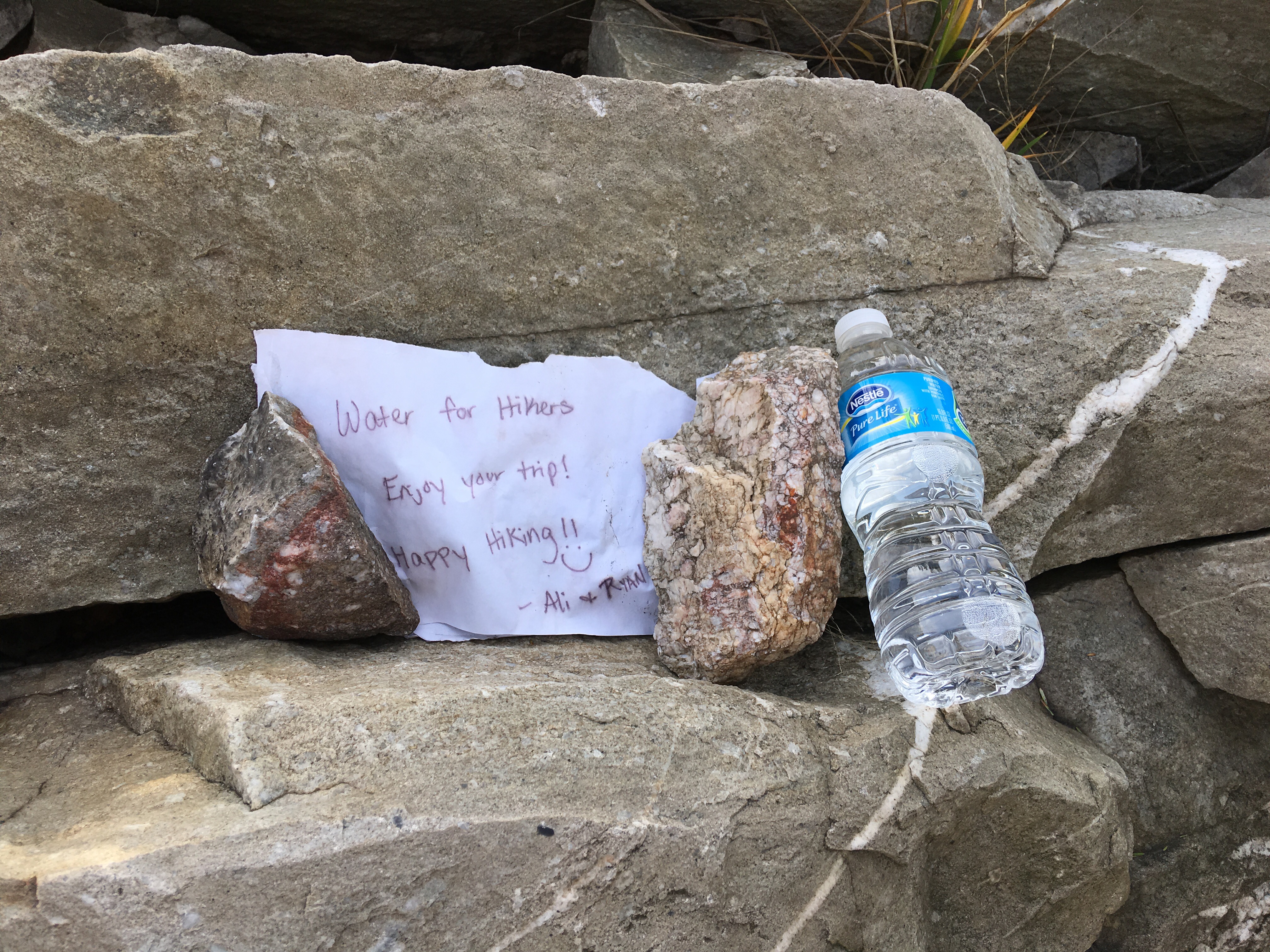
Just before the top I found this. This stuff is why I do this. The hiking and the improved fitness and the feeling of accomplishment, are great and all, but the little acts of kindness out here are the best.

That’s Palmerton in the distance. I’m going to Bert’s for a burger!
Coming down the other side there’s this.
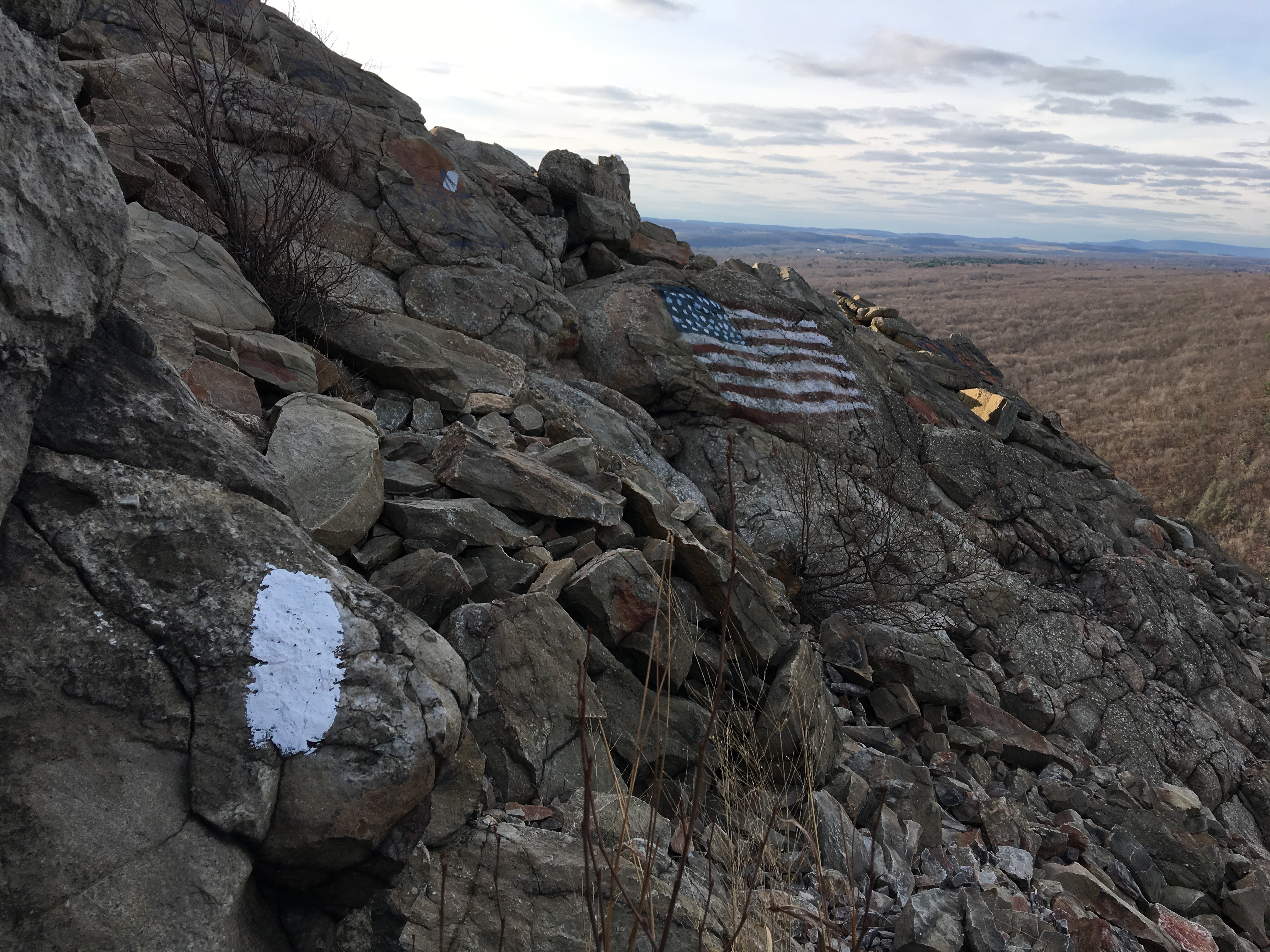
Then the Blue Trail…

It was gentle. 😀

And then this old railroad bed back to my car. It reminded me of Harper’s Ferry along the canal. These trail towns in these gaps all have canals or railroads running through. Palmerton produced zinc products for years. Transport was rail or water back then.
You know what? I think I’ll do it again. 😀

Leave a comment